
Galisteo to Arco de Caparra (18 miles)
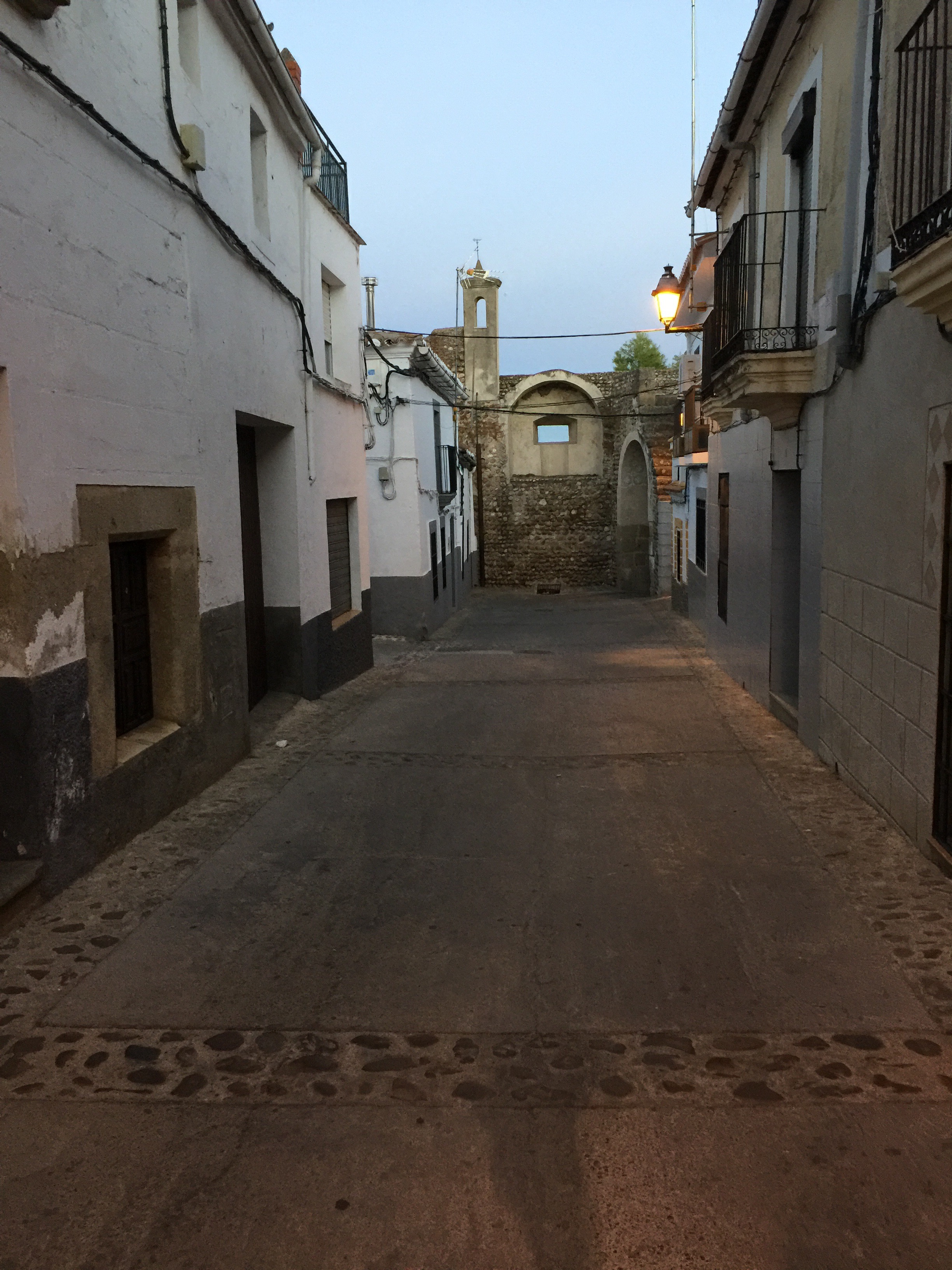
Today started with having to walk up to the city center, within the fortress walls, and through the town, and down the other side. I started at eight just as the sun was coming up and it was a beautiful sight from up on the hill.
On the other side of the city the Camino crossed an old stone medieval bridge that is still used as the exit from the town.
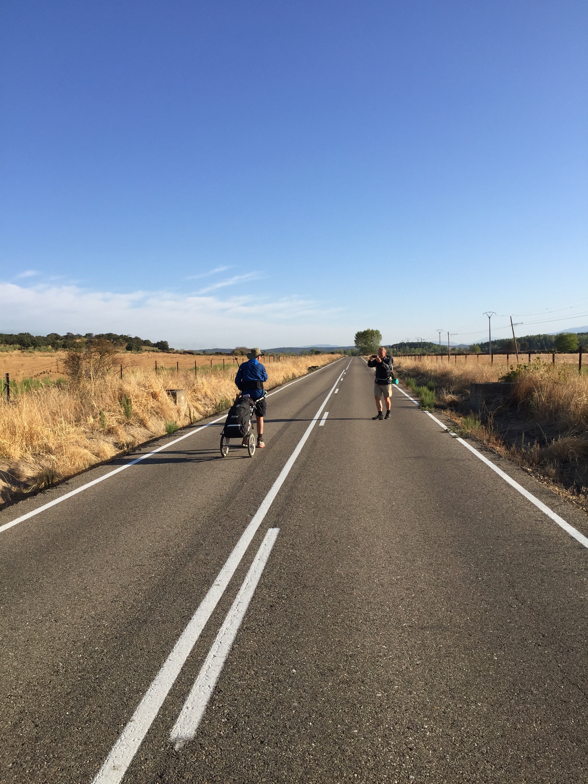
Just outside town I came to my first dreaded traffic circle of the day, without any clear Camino markings. The last arrow having been just before the circle.There was a black and white sign, the first of this type I had seen, with just the word Camino on it. It didn’t really point in any distinct direction, but there was a wide well traveled gravel road near it. This must be the right way! That’s what Wrong Way Ted said to himself anyway. But after going down about a quarter of a mile I wasn’t sure and turned around and started back. I passed a Norwegian couple that had stopped to take some photos and they were coming down the same road. Must be the right road then? We talked it over and went over our maps and decided it was not the Camino. Back to the traffic circle but there were no arrows or signs. We were standing there obviously lost, when a nice young man on a motorcycle stopped and told us that the Camino was on the asphalt road and to just to stay on it. Not bad, only a half hour detour!
I ended up walking with Hans and Bert from Norway for the four miles or so on the asphalt road to the town Carcaboso. There the Camino finally turn onto the gravel path. The four miles were a little of a challenge as it was very narrow and there was no shoulder. There were lots of cars and we had to stop and step off the road many times to let cars pass.
In the little town of Carcaboso the Camino went through the city center where there was a farmers market. I was drooling looking at all the fresh vegetables as I have missed them. I bought a small head of broccoli and ate it while walking as my snack. That way I knew if it didn’t eat a good diner I had had my veggies.
Outside Carcaboso the road split in two, and with the usually granite block CVdlP marker placed right at the Y of the junction. There are no directional arrows on these blocks, so at the junction you have no idea which way the Camino goes. It used my Native American skills and looked for foot prints and bicycle tire tracks and determined i was on the right road. After about a half mile I had not seen another arrow or marker and figured I had made the wrong turn, so I turned around. Wrong Way Ted did it again!
About half way back I ran into Paul, a 36 year old German guy, who I had said hello to sitting on a bench in town. He told me his gps indicated it was the right direction. I ended up walking with him the rest of the day and it actually made time go by. He spoke English very well and we had a nice conversation all day long.
The temperature was in the mid nineties of course and talking kept my mind off of the heat. Because he is from cold Germany he was enjoying the heat. Crazy German!
The terrain wasn’t much different than yesterday with rolling hills and short steep climbs. The surface varied from hard sand and gravel, to loose sand, and many times rocky rutted surfaces. Walking with the Wheelie makes these surfaces much more noticeable and difficult.
In the morning we went through lots of green irrigated pasture and farm land, but the rest of the day it was the usual oak trees and brown dry grasses.
Nothing out of the unusual most of the day. After Carcaboso I was committed to either go another eight miles turnoff, and then another four miles off the Camino to Oliva de Plascencia with the only albergue for the next fifteen miles. Then I would have to walk the extra four miles back to the Camino in the morning.
The other option was to walk another four miles to Arco de Caparra’s Arch, and old 45 AD Roman city, and catch a 5 mile shuttle ride provided by a hotel. Easy choice, so we walked to Caparra.
Wow, what a history there is in Spain. Caparra was a major Roman city founded around 45 ADand was a major city along the Roman trade road back to Roman. It thrived for hundreds of years and had a population of thousands. The arch that the road passed through is still standing and there are ruins that are being dug up. As I mentioned before, there is so much history just along the Camino that if I really took the time to looked at them it would take me years to finish the Camino de Santiago.
Paul called the hotel and a nice young man picked us up and took us to the Hostal Asturias. It is in the middle of nowhere and is near an off ramp for the freeway. There are lots of trucks here, and it think it might also be a truck stop.
The room was 16€ ($18) and is small but clean. It has a giant 17″ tv and fairly nice cotton towels. It’s a nice treat to have cotton towels instead of using the lightweight micro fleece towel that I have.
There is a restaurant here, but of course diner is not until nine! Lucky I still have my egg and potato tostada (casserole) left for my diner in my room.
Tomorrow will be interesting as we are not sure we can get a ride back where we got picked up? We want to cover the whole Camino without any gaps.
They serve breakfast here at 7:30 AM (surprise), but we are not sure how we will get our 3-4 liters of drinks or lunch food as the next town is over fifteen miles away. That’s part of the Camino experience, you never know what you get from one day to the next.
Best wishes,
Ted
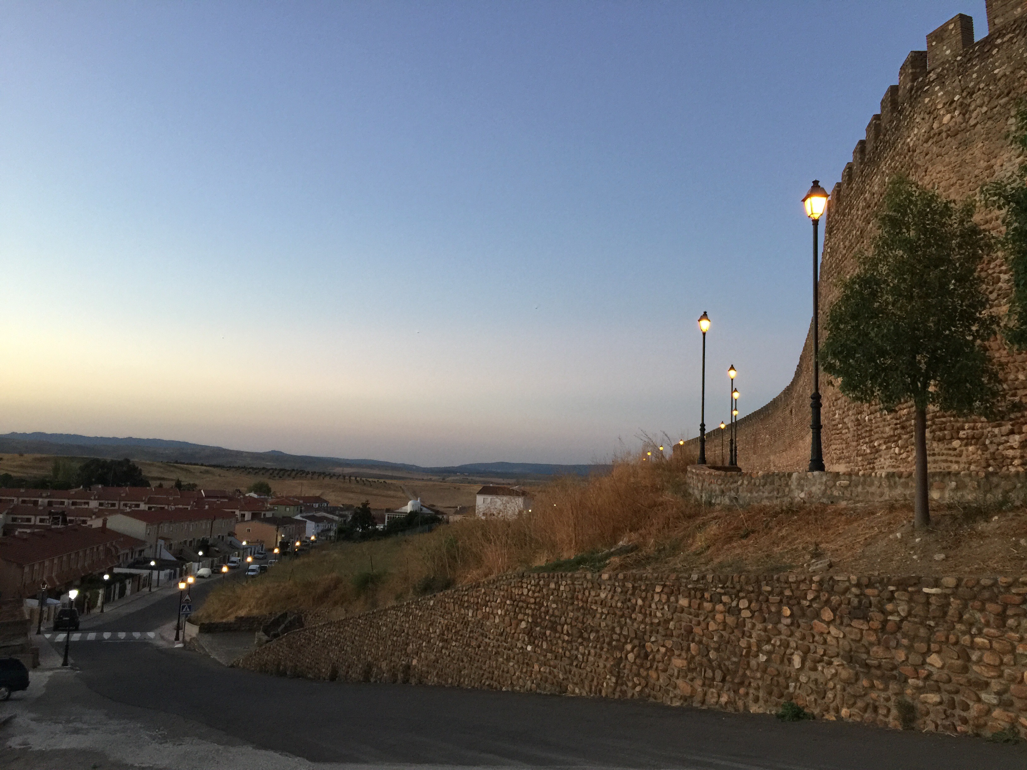
Leaving town at sunrise
Walking through the city at sunrise
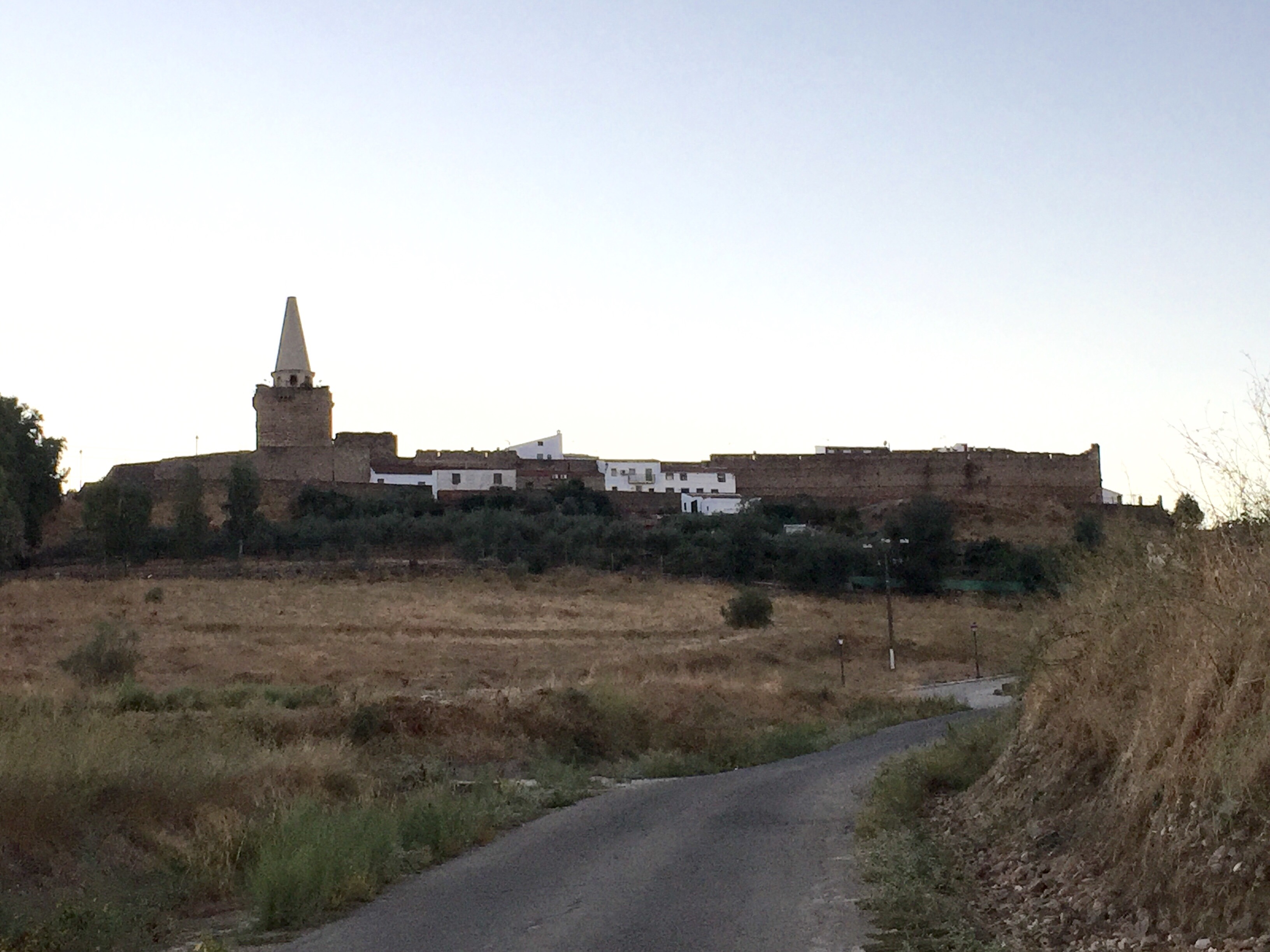
Looking back at Galisteo at sunrise
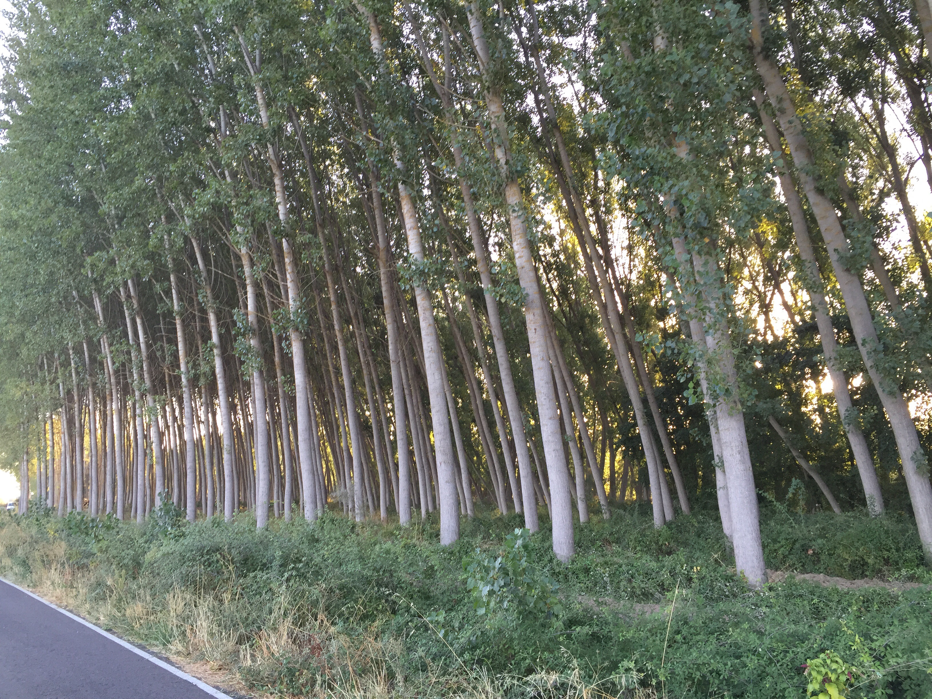
Planted forest lumber
Hans taking a picture that he wanted of me with the Wheelie. I have probably had at least over one hundred and fifty pictures taken of me with the Wheelie.
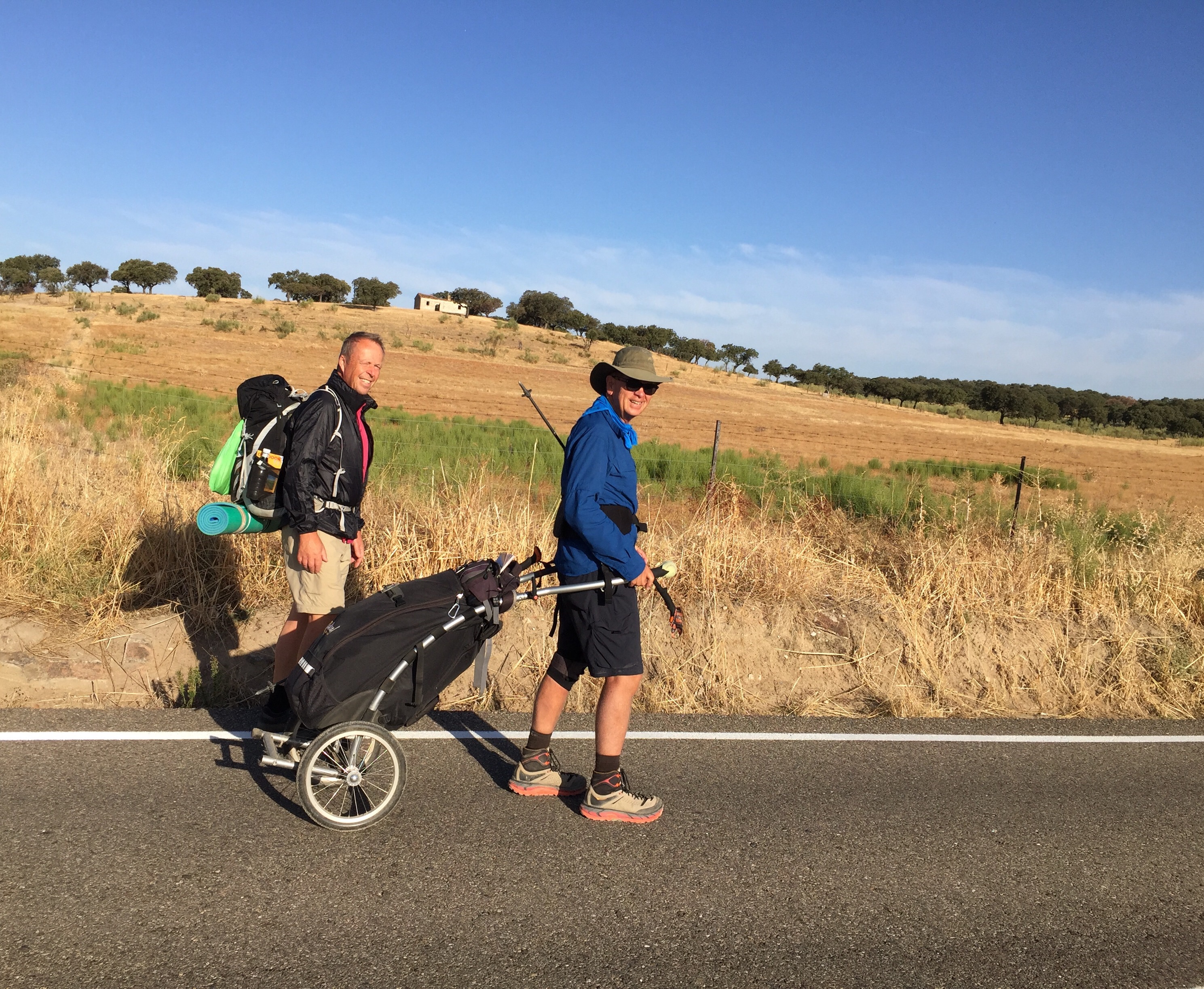
Hans and me
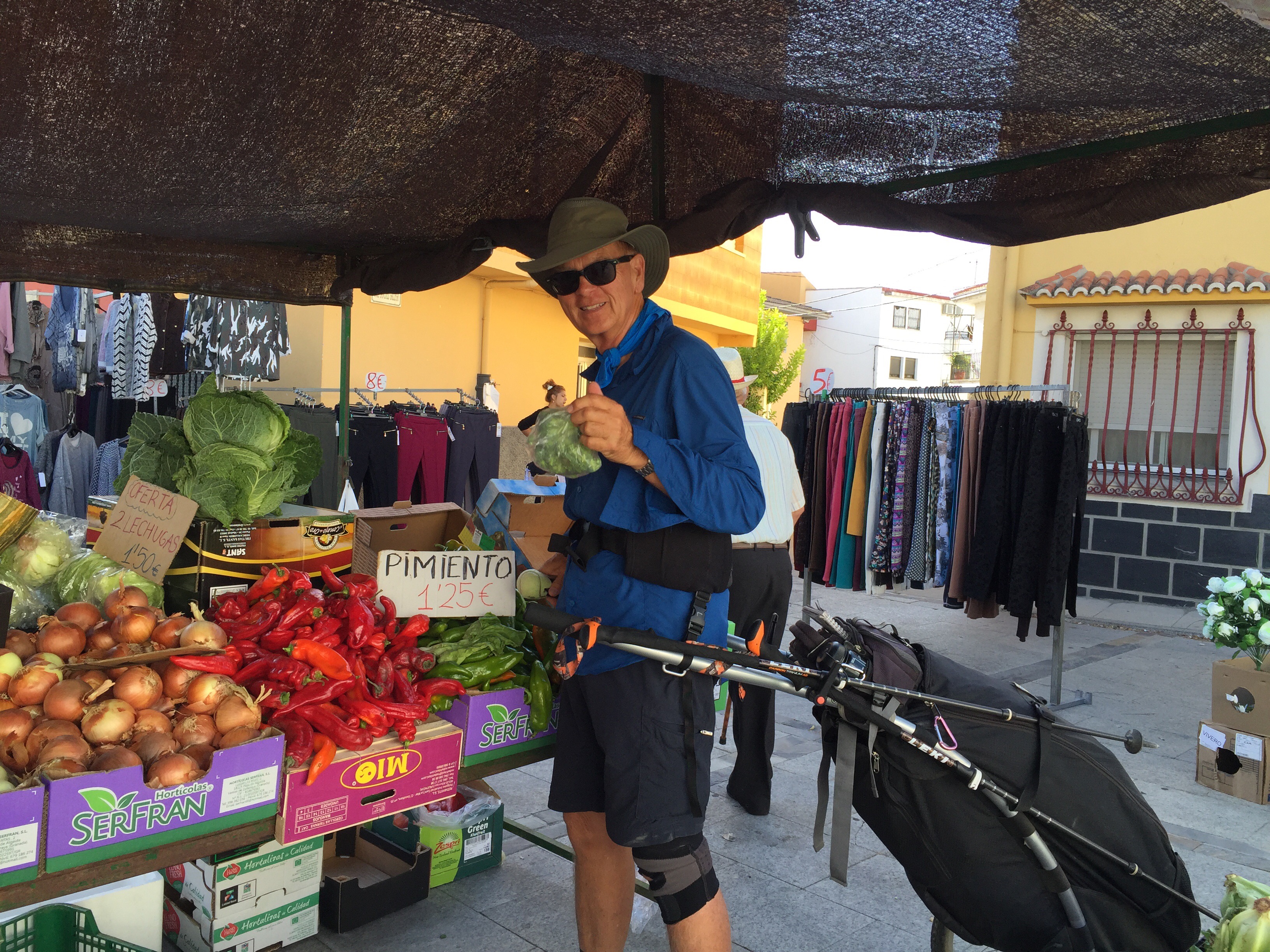
Buying some veggies
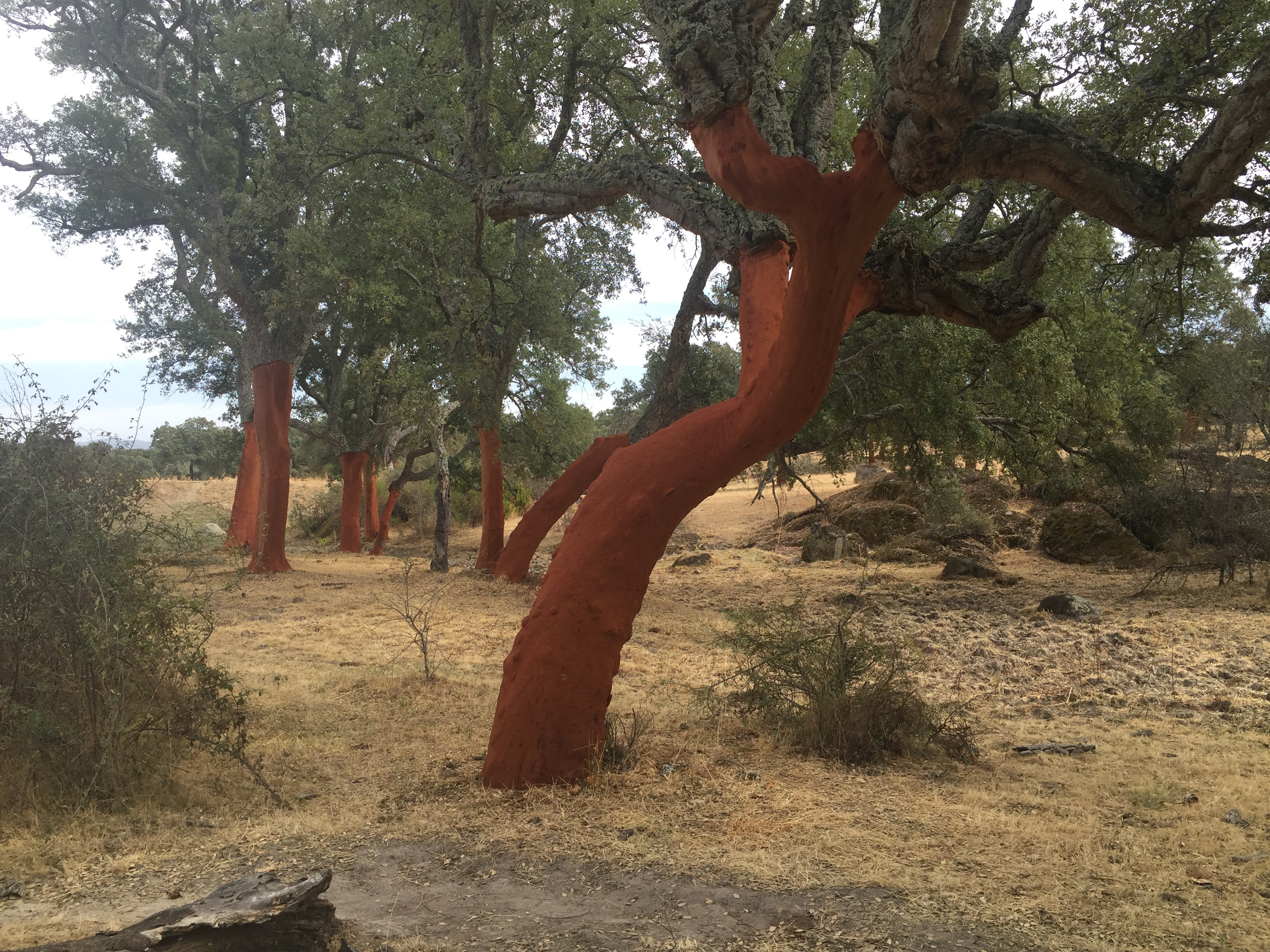
Tress looking red that were stripped of their bark for cork
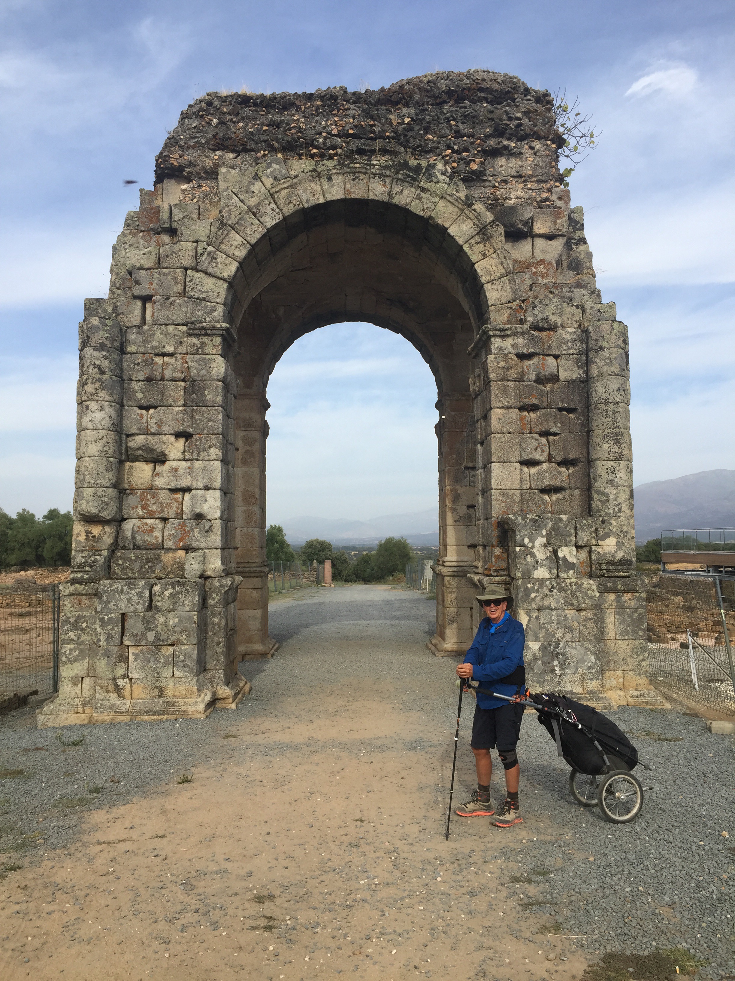
Caparra’s Arch
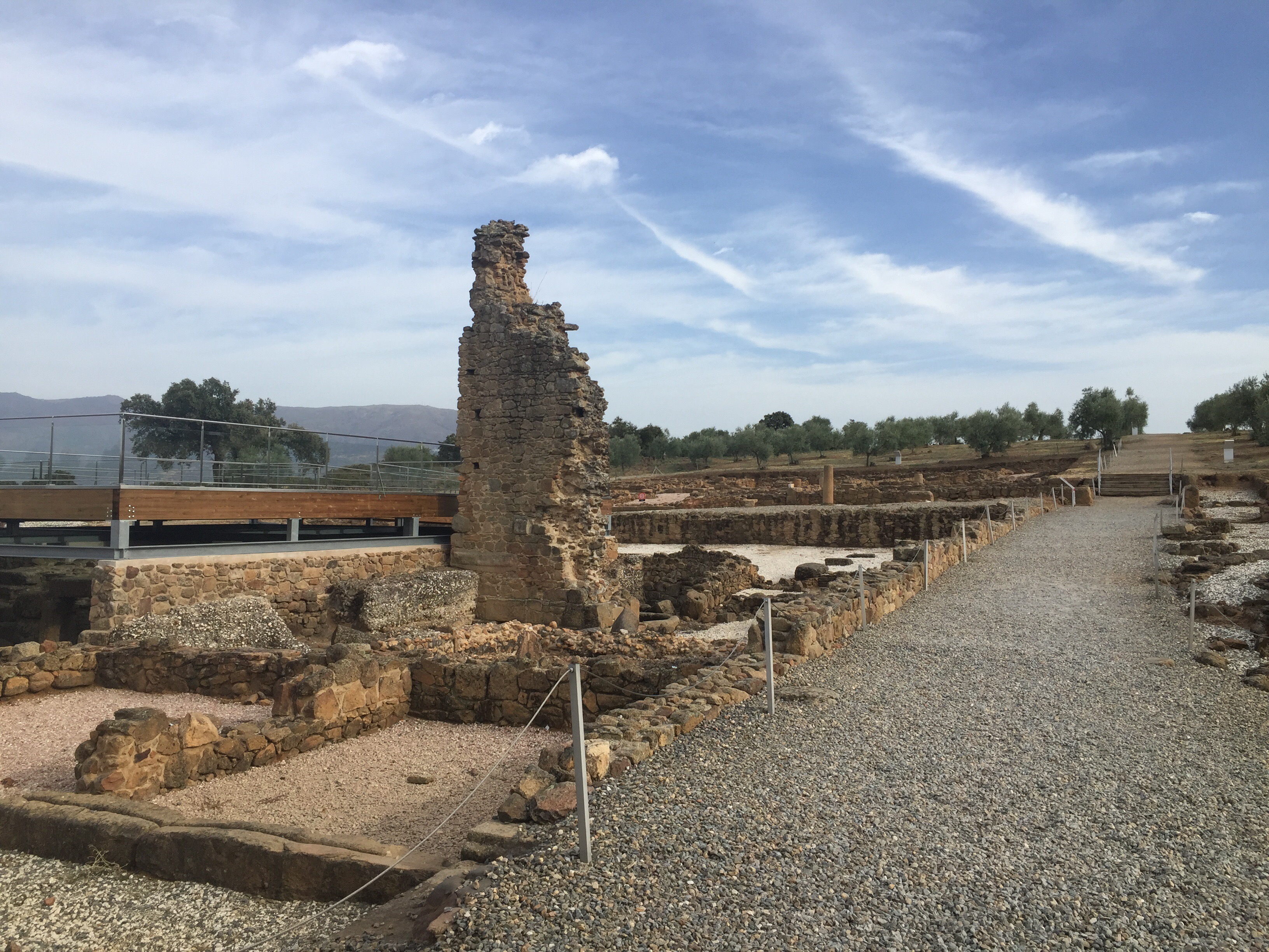
Caparra’s ruins
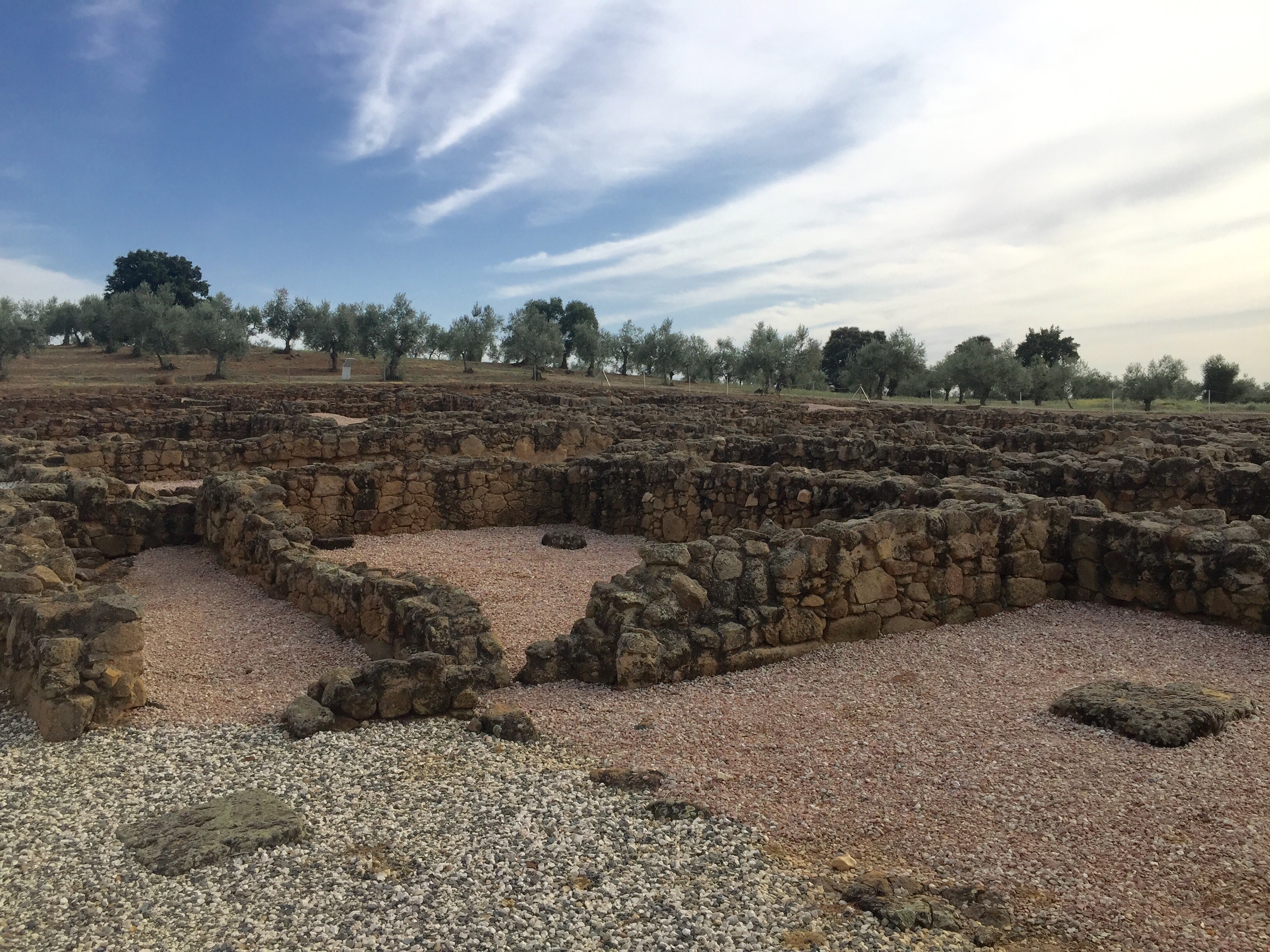
Caparra’s ruins

Hostal Asturias
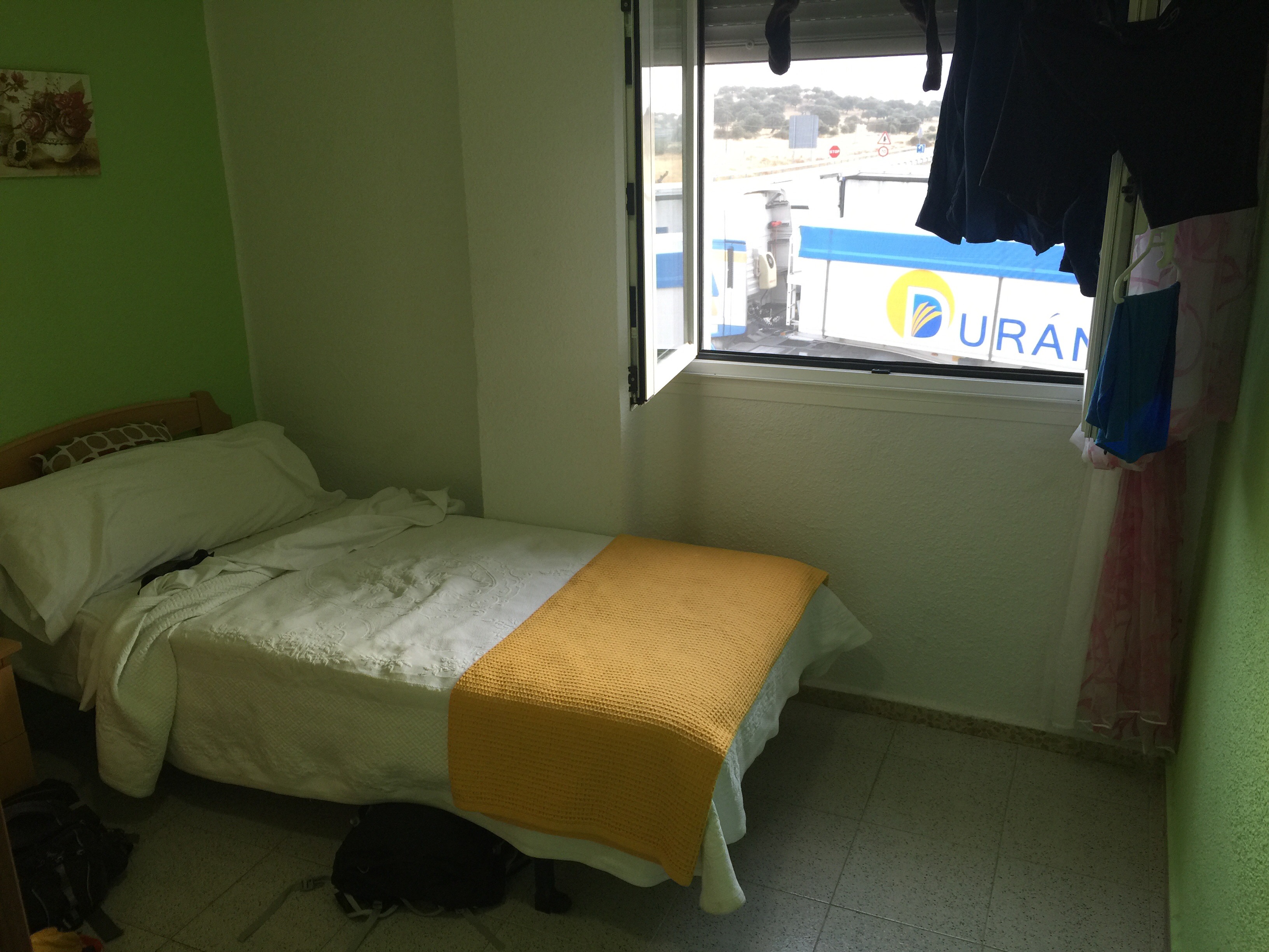
My Hilton for the night

45BC? Isn’t that the year after you were born?
LikeLike